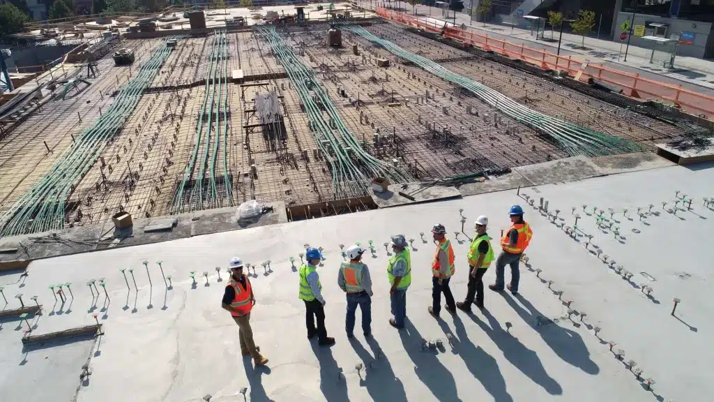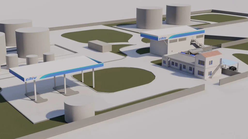
The coastal regions of Greece have long been popular locations for development, as they provide beautiful views, a sense of community, and recreational opportunities.
However, construction in these areas is becoming increasingly complex due to the unique challenges posed by proximity to the sea. Coastal erosion, storms, and rising water levels are just a few of the issues that need to be considered during construction in these areas. For this reason, a coastal geotechnical study is a critical component of any construction project.
What is a Geotechnical Study?
A coastal geotechnical study is the process of assessing the soil and subsoil conditions of a site to identify potential risks that may arise during construction.
This involves evaluating soil stability, the likelihood of erosion, and the location of the water table.
By conducting a geotechnical study in areas close to the sea, engineers and builders can identify potential hazards that may affect the stability and safety of the construction and take preventive measures.
How a Geotechnical Study is Conducted in Coastal Areas
A coastal geotechnical study includes several stages. Initially, an analysis of the location is carried out, where the site is inspected, and information on the topography, geology, and existing structures is gathered. Then, samples of soil and rock are collected to determine the composition and strength of the ground.
Subsequently, groundwater samples are collected, and the position and level of the water table are determined to assess the risk of groundwater leakage and flooding. In coastal areas near hills, the risks of landslides and flooding are also evaluated using computer models to simulate impacts.
A geotechnical study also includes seismic analysis, where soil vibrations are measured, and an analysis of waves and winds is conducted to assess their potential effects on the construction.
The samples collected are sent for laboratory testing in facilities that comply with Greek and European standards.
In coastal areas, construction projects are typically building-related, so the geotechnical study must include key elements such as a detailed description of the project, geotechnical calculation parameters, soil profiles, stability calculations, and specific factors connecting the project to the ground.
The Main Challenges
One of the primary challenges in coastal construction is the risk of soil erosion caused by the constant movement of water, which can lead to instability and potential collapse of structures.
A geotechnical study of the coast can help identify areas of the site at risk of erosion, enabling engineers to design and construct the building in a way that minimizes this risk.
For instance, construction on a site with a high risk of erosion may require more robust foundations or other protective measures.
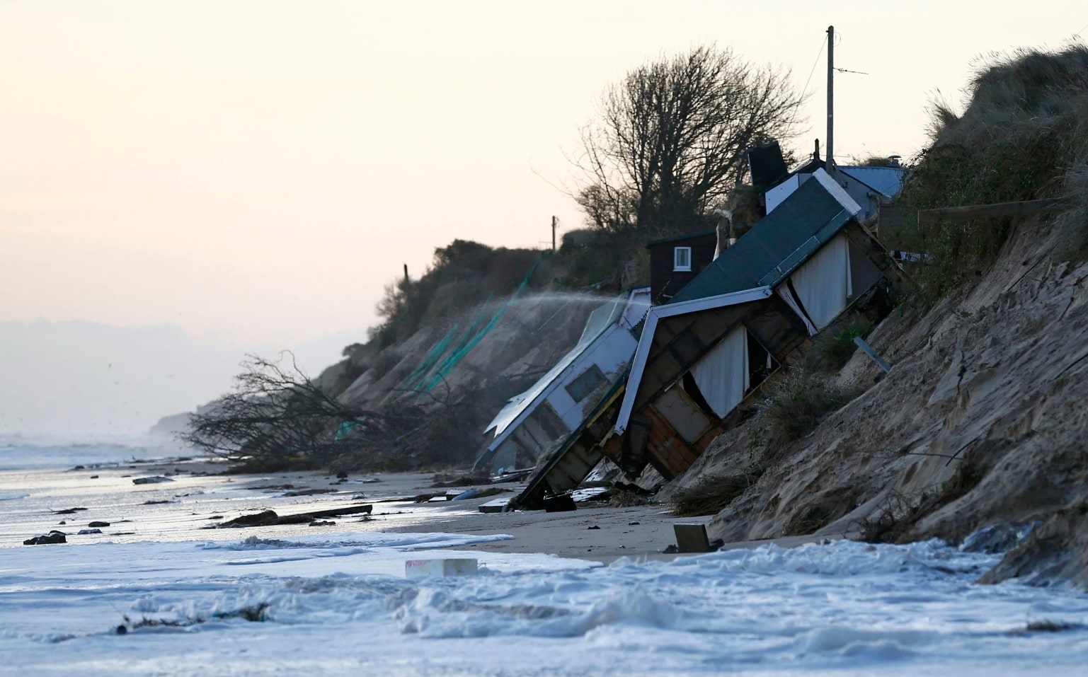
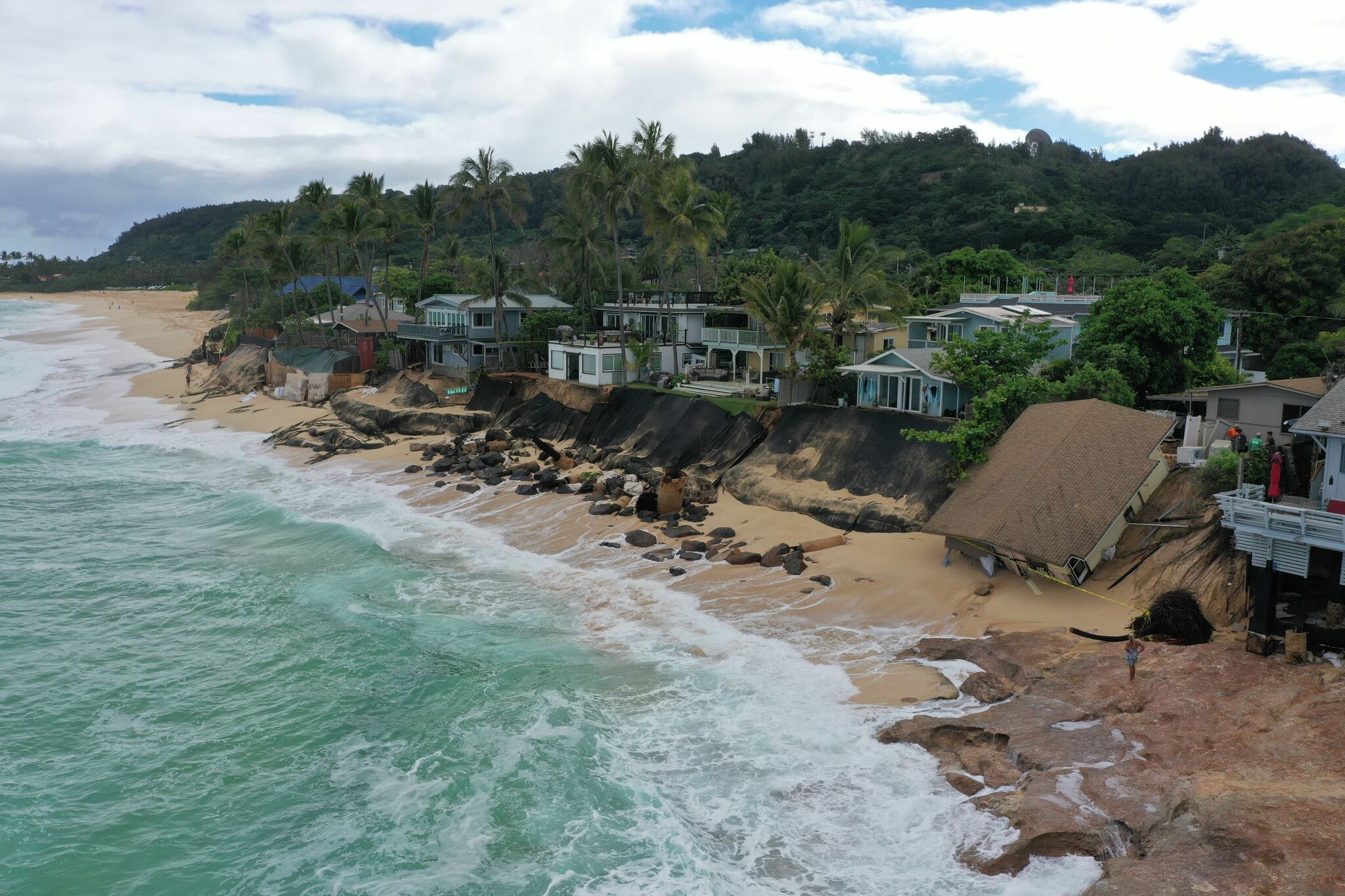
Another challenge for coastal construction is groundwater. The sea can raise the water table, leading to problems with groundwater leakage and flooding.
The geotechnical study can help identify the location and level of the water table. For example, construction on a site with a high water level may require waterproofing or drainage systems.
In addition to these challenges, the coastal environment is subject to severe weather conditions, such as strong winds and storms. Engineers assess soil and underground conditions that may affect the stability of the construction during extreme weather events.
This includes evaluating the potential impact of wind and wave forces on the structure and assessing the site’s vulnerability to such weather phenomena.
In conclusion, a geotechnical study provides valuable information about the soil and subsoil conditions, helping engineers design and construct safe and stable structures that can withstand the unique challenges of the coastal environment and demonstrate significant durability over time.
The primary advantage is that engineers can identify potential risks in advance and take the necessary measures before construction begins.
The Geotechnical Study Near the Sea is Always Essential
ΙΩΝΙΚΗ Engineering
The coastal regions of Greece have long been popular locations for development, as they provide beautiful views, a sense of community, and recreational opportunities.
However, construction in these areas is becoming increasingly complex due to the unique challenges posed by proximity to the sea. Coastal erosion, storms, and rising water levels are just a few of the issues that need to be considered during construction in these areas. For this reason, a coastal geotechnical study is a critical component of any construction project.
What is a Geotechnical Study?
A coastal geotechnical study is the process of assessing the soil and subsoil conditions of a site to identify potential risks that may arise during construction.
This involves evaluating soil stability, the likelihood of erosion, and the location of the water table.
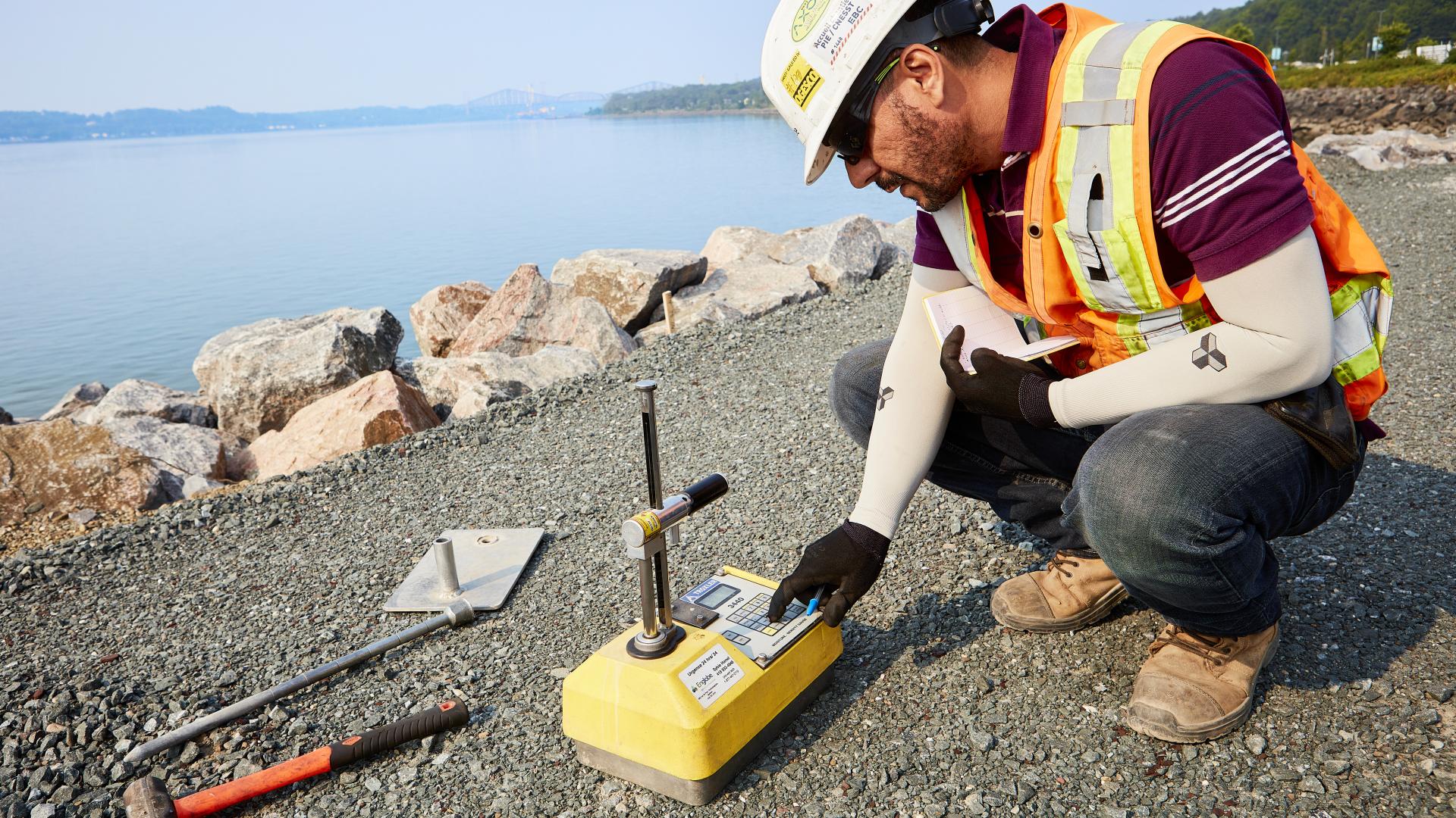
By conducting a geotechnical study in areas close to the sea, engineers and builders can identify potential hazards that may affect the stability and safety of the construction and take preventive measures.
How a Geotechnical Study is Conducted in Coastal Areas
A coastal geotechnical study includes several stages. Initially, an analysis of the location is carried out, where the site is inspected, and information on the topography, geology, and existing structures is gathered. Then, samples of soil and rock are collected to determine the composition and strength of the ground.
Subsequently, groundwater samples are collected, and the position and level of the water table are determined to assess the risk of groundwater leakage and flooding. In coastal areas near hills, the risks of landslides and flooding are also evaluated using computer models to simulate impacts.
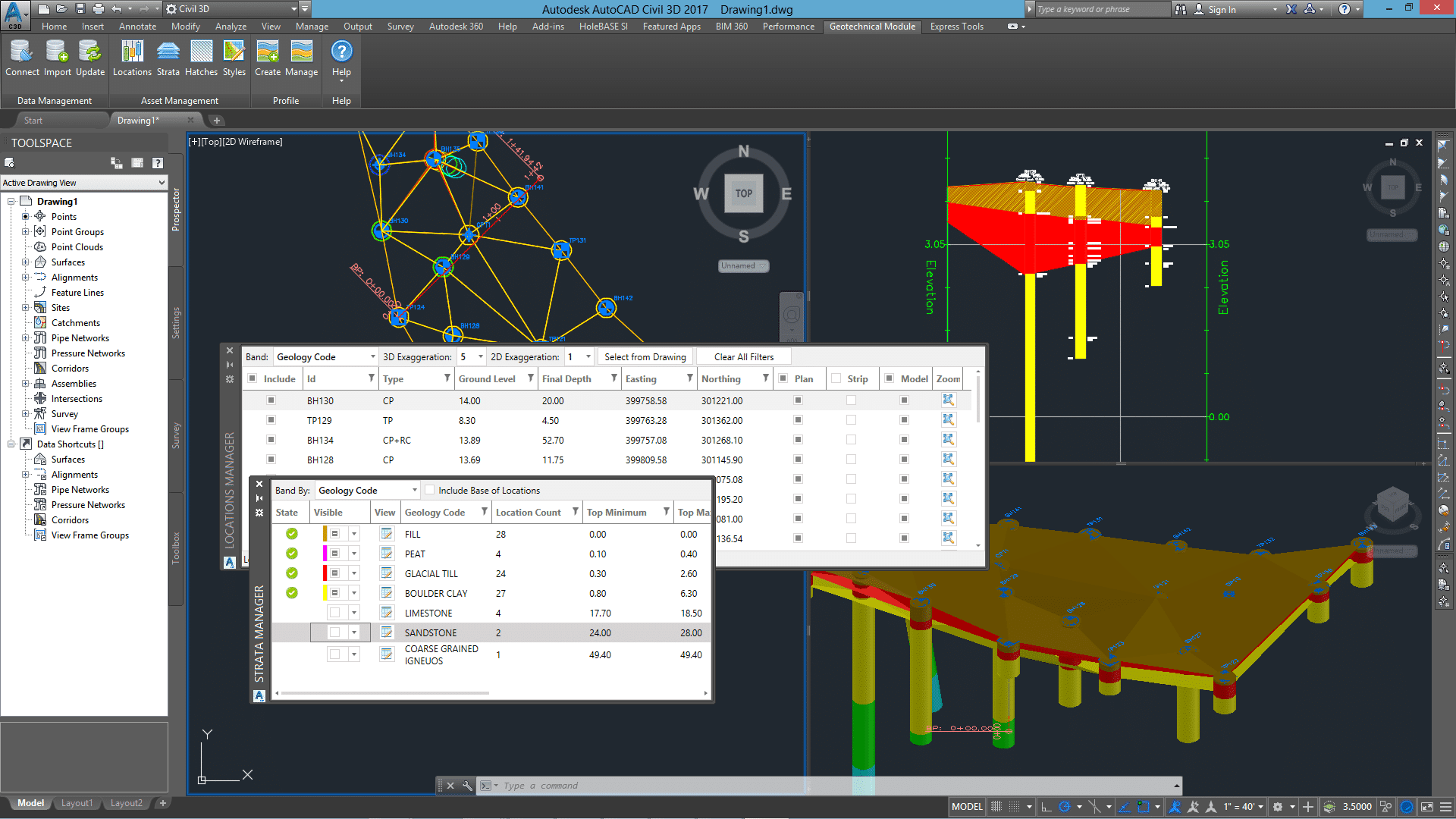
A geotechnical study also includes seismic analysis, where soil vibrations are measured, and an analysis of waves and winds is conducted to assess their potential effects on the construction.
The samples collected are sent for laboratory testing in facilities that comply with Greek and European standards.
In coastal areas, construction projects are typically building-related, so the geotechnical study must include key elements such as a detailed description of the project, geotechnical calculation parameters, soil profiles, stability calculations, and specific factors connecting the project to the ground.
The Main Challenges
One of the primary challenges in coastal construction is the risk of soil erosion caused by the constant movement of water, which can lead to instability and potential collapse of structures.
A geotechnical study of the coast can help identify areas of the site at risk of erosion, enabling engineers to design and construct the building in a way that minimizes this risk.

For instance, construction on a site with a high risk of erosion may require more robust foundations or other protective measures.

Another challenge for coastal construction is groundwater. The sea can raise the water table, leading to problems with groundwater leakage and flooding.
The geotechnical study can help identify the location and level of the water table. For example, construction on a site with a high water level may require waterproofing or drainage systems.
In addition to these challenges, the coastal environment is subject to severe weather conditions, such as strong winds and storms. Engineers assess soil and underground conditions that may affect the stability of the construction during extreme weather events.
This includes evaluating the potential impact of wind and wave forces on the structure and assessing the site’s vulnerability to such weather phenomena.
In conclusion, a geotechnical study provides valuable information about the soil and subsoil conditions, helping engineers design and construct safe and stable structures that can withstand the unique challenges of the coastal environment and demonstrate significant durability over time.
The primary advantage is that engineers can identify potential risks in advance and take the necessary measures before construction begins.


